
Geophysics and geo-data support for decisions in demanding northern environments.
Independent geophysicist based in Tromsø, supporting exploration, infrastructure, natural-hazard and environmental projects across Northern Norway and the Nordic region with geophysics, field measurements, data quality and integrated interpretation.
Support where uncertainty affects decisions
I support projects where uncertainty in the ground, the data or the operating environment affects decisions.
Reduce exploration uncertainty
Plan, quality-control and interpret geophysical data so exploration teams can focus follow-up work where it matters most.
Understand ground and terrain risk
Combine geophysics, terrain information, field observations and monitoring data to support decisions around ground conditions, unstable slopes and natural hazards.
Build monitoring concepts
Design practical measurement and monitoring setups for environmental impact, unstable terrain, groundwater, vibration, noise and operational risk.
Turn data into decisions
Integrate measurements, geology, GIS and project constraints into clear figures, reports and decision-focused technical notes.
Each project has a different risk profile
The common thread is to collect the right data, check its quality, integrate it with the wider project context and make the result useful for decisions.
Exploration & mining
Support for mineral exploration teams that need better decisions from geophysical and geological data. I help with survey planning, acquisition QA/QC, processing coordination, interpretation support, 3D integration and target ranking.
Typical questions- Where should we collect more data?
- Is the data quality good enough for inversion or interpretation?
- Which structures or targets deserve follow-up?
- How do we combine geology, geophysics and project constraints?
- How can uncertainty be communicated clearly to technical and non-technical stakeholders?
Infrastructure, unstable slopes & natural hazards
Support for projects where ground conditions, terrain instability or natural hazards create uncertainty — from one-off assessments to monitoring concepts for unstable slopes, rockfall areas, erosion and groundwater-related instability. Field observations, geophysics, terrain information and GIS are combined to clarify where the risk lies, what should be measured and when action may be needed.
Typical questions- Where is the bedrock surface or weak ground?
- Are there structures, cavities, water pathways or weak zones that increase risk?
- Can geophysical data support slope, landslide or rockfall assessments?
- Is this a one-off mapping problem, or does the site need monitoring over time?
- Which parameters should be monitored: movement, groundwater, vibration, erosion or weather exposure?
- Where should sensors or repeated measurements be placed?
Environmental monitoring & compliance
Monitoring and data support for projects where environmental impact, documentation and regulatory follow-up matter. I help design practical monitoring concepts, structure measurements and turn environmental data into clear reporting.
Typical questions- What should be monitored, where and how often?
- Is the measurement setup suitable for the project risk?
- How can groundwater, noise, vibration or water-quality data be documented clearly?
- How should monitoring results be communicated to project owners, authorities or stakeholders?
- Can the data be structured for recurring reporting or dashboards?
Marine, coastal & field operations
Field-oriented support for near-shore, coastal and remote projects where logistics, measurements and environmental conditions need to work together. This can include planning, coordination, field measurements, small-boat based support and integration of field data into GIS or reporting.
Typical questions- How can data be collected safely and efficiently in a coastal or remote setting?
- What field setup is realistic for the weather, terrain and access conditions?
- Can marine or near-shore measurements be combined with environmental or geophysical data?
- How should field observations be documented for later interpretation and reporting?
Practical delivery from planning to report
Services can be delivered as focused one-off support, as part of a larger project team or as recurring technical support during field campaigns and monitoring periods.
Survey planning & field QA/QC
Planning support before data acquisition and practical QA/QC during fieldwork. Useful when survey layout, station quality, logistics or contractor follow-up can strongly affect the value of the final dataset.
Geophysical processing & interpretation
Processing coordination, quality review and interpretation support for geophysical datasets. Focused on whether the data is reliable, what it can and cannot show, and how it should inform the next decision.
Ground conditions, unstable slopes & monitoring
One-off assessments and longer-term monitoring concepts for terrain instability, natural hazards, groundwater-related risk and infrastructure projects. Geophysics, field measurements, sensors, GIS and repeated observations are combined to support practical decisions.
Environmental and operational monitoring
Monitoring concepts for groundwater, noise, vibration, water quality, air quality and field conditions. From baseline setup to periodic reporting and structured documentation.
GIS, 3D integration & reporting
Integration of geological, geophysical, environmental and field data into maps, 3D views, dashboards and decision-focused reports.
Methods are selected based on the question
Methods are selected based on the question, not the other way around. The aim is to combine appropriate measurements with clear interpretation and practical reporting.
Background from demanding technical environments
My background combines geophysics, environmental monitoring, measurement technology and operational risk management. Experience spans exploration geophysics in Northern Scandinavia, environmental monitoring in Norway and Switzerland, noise and vibration measurements, and HSE processes in regulated technical projects.
Core principles: collect the right data, assess uncertainty, communicate clearly.
- Mineral exploration and geophysical data support
- Groundwater, noise, vibration and environmental monitoring
- Field measurements and sensor-based data collection
- Operational safety, HSE and environmental processes
- Northern and remote field environments
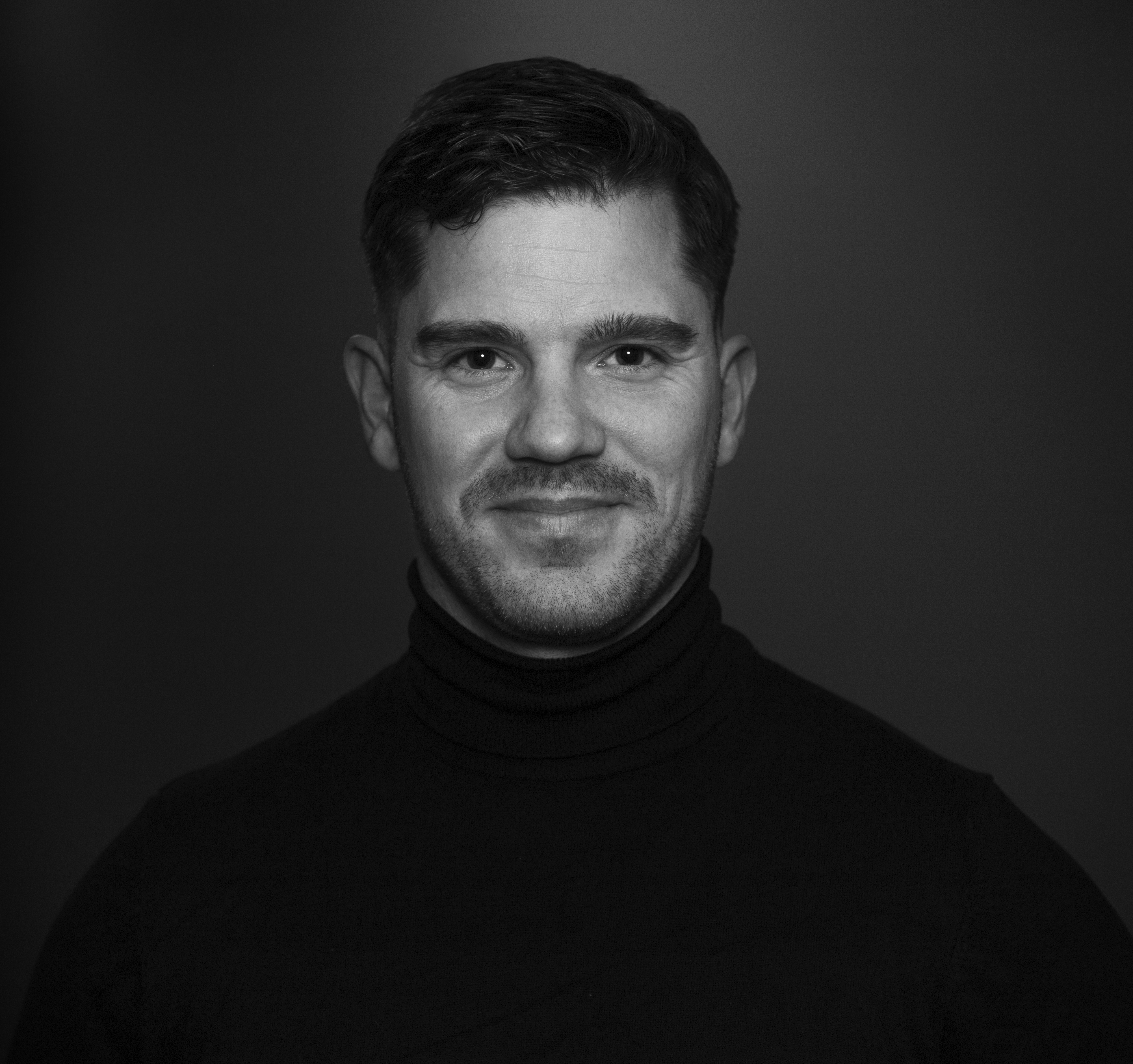
Independent geophysicist based in Tromsø
I am an independent geophysicist based in Tromsø. My work covers geophysics, field measurements, environmental monitoring and practical decision support, ranging from survey planning and data quality to interpretation and reporting. The focus is not only on producing data, but on making uncertainty visible and useful.
My background includes mineral exploration, environmental consulting, measurement technology and HSE work in demanding and regulated environments. Outside of work I spend much of my time at sea and in the mountains – risk must be understood and managed, not ignored.
Discuss a project
Describe the project, location, timeline and what kind of support you are looking for. I will give an honest assessment of whether, and how, I can contribute.